
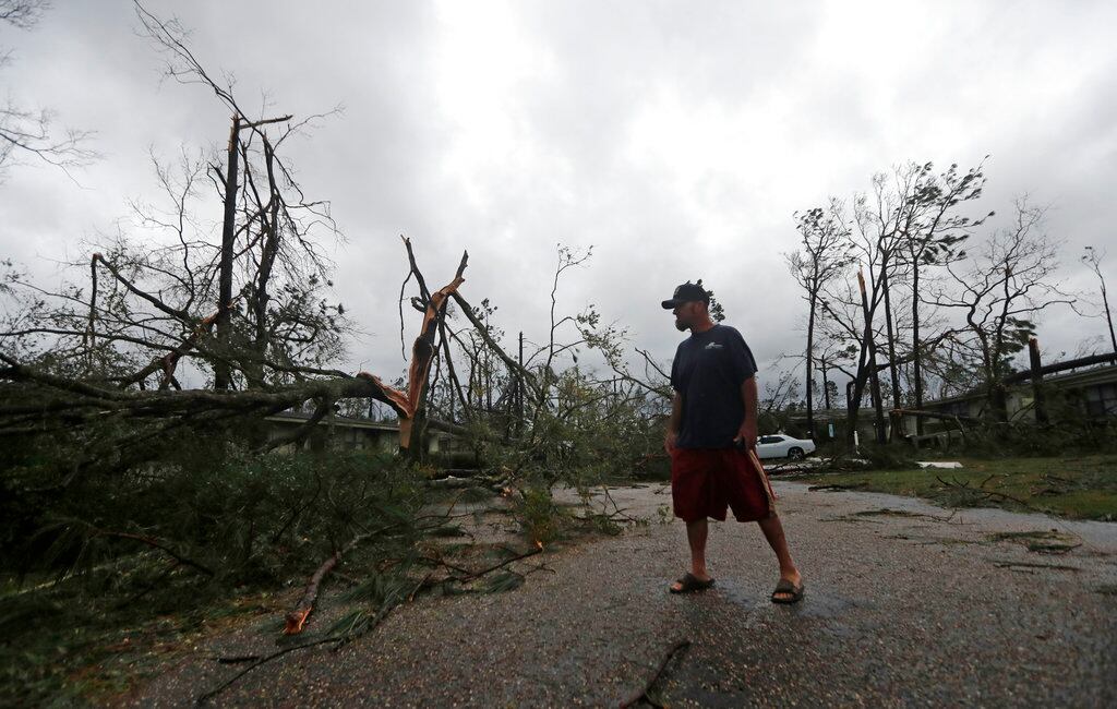
The National Oceanic and Atmospheric Administration has an awesome tool for airmen and their families who are worried about the condition of their homes in and around Tyndall Air Force Base in Panama City, Florida.
The government scientific agency is collecting and posting aerial images of the damage from Hurricane Michael. Viewers can find locations on base or the surrounding community and zoom in on them to see how they fared.
NOAA’s HURRICANE MICHAEL IMAGERY
The National Geodetic Survey began collecting damage assessment imagery Oct. 11 from Mobile Bay to St. George Island, Florida, and over Panama City. This imagery was acquired by the NOAA Remote Sensing Division and combined into a larger, tiled mosaic distribution.
The NGS is flying two missions a day to update images every 12 hours.
"A team of NOAA aviators and sensor operators are capturing the images using specialized remote-sensing cameras aboard NOAA Office of Marine and Aviation Operations' King Air aircraft flying above the area at an altitude between 500 and 1,500 meters," according to NOAA's web site.
RELATED
NOAA’s aerial imagery captures storm damage and is a crucial tool to determine the extent of the damage inflicted by wind and flooding.


